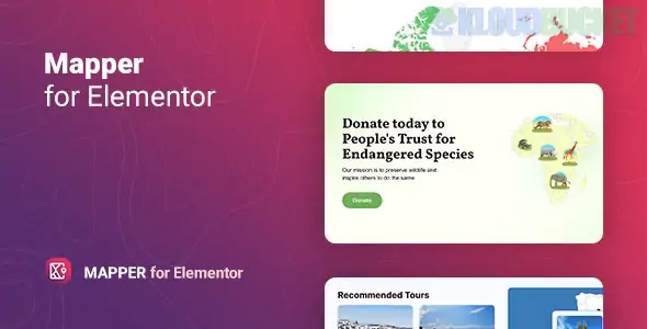
The Mapper - Interactive World Map for Elementor (often branded by the developer "Merkulove") is a specialized, premium Elementor widget designed to create highly customizable and data-driven geographic maps directly within the Elementor interface.
It differs significantly from standard map widgets (like the core Elementor Google Maps widget) because it uses SVG-based vector graphics rather than satellite images, making it ideal for highlighting countries, regions, or statistics, rather than just showing a physical location.
The plugin's strength is its flexibility in display mode and its ability to handle complex regional data.
Targeted Regions: You can choose to display the whole World, specific Continents (Africa, Asia, Europe, etc.), Sub-continents (e.g., Western Europe), or detailed maps of many individual Countries and their internal subdivisions (States/Provinces, e.g., the US states).
Vector (SVG) Based: Since the maps are scalable vector graphics, they load fast, look sharp on all screens, and allow every region to be individually interactive and colored.
You can choose how the map communicates information to the user:
Display Mode
Description
Ideal Use Case
Regions
Highlights and colors the geographic area itself (e.g., a country or state).
Showing sales territories, service areas, or countries you have traveled to.
Markers
Places custom points, icons, or images on a specific location on the map.
Indicating office locations, dealer networks, or points of interest within a region.
Text
Places custom, static text labels directly onto specific regions.
Labeling small regions or providing concise, non-interactive annotations.
Color by Value (Choropleth): This is a critical feature for data display. You can assign a specific numerical value to each region, and the map automatically colors the regions using a gradient color axis.
Legend Display: Allows you to include a legend to help users interpret what the different colors on the map represent (e.g., dark red = high value, light blue = low value).
Tooltips/Popups: You can enable a tooltip (small hover box) or lightbox/popup that appears when a user hovers over or clicks a region/marker. This content is fully customizable.
Trigger Options: You can set the interactive content to appear on Hover (Focus) or on Click (Selection).
Customization: Full control over the map's appearance, including:
Colors for active, inactive, and hover states.
Styling of markers (size, color, icon).
Custom dimensions (width and height).
The Mapper - Interactive World Map for Elementor is the perfect solution for creating data infographics, service area maps, or travel blogs where you need the ability to customize the appearance and interactivity of specific countries or states, rather than just embedding a standard navigational map.
Would you like to know if this plugin supports deep linking (creating a unique URL for a specific map region)?
Subscribe to access unlimited downloads of themes, videos, graphics, plugins, and more premium assets for your creative needs.
.jpg) Help Us to Buy More New Theme/Plugin
Help Us to Buy More New Theme/Plugin
Published:
Dec 09, 2025 14:18 PM
Version:
v1.0.4
Category:
Author:
OtherLicense:
GPL v2 or LaterTags: